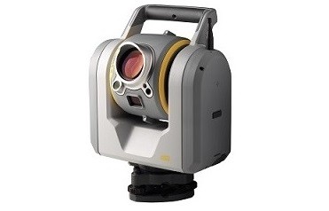
Trimble SX10 measures dense 3D scanning data at 26,600 dots per second with high accuracy over its entire measurement range of up to 600 m. Trimble SX10, point clouds are captured and automatically saved with your survey workflow. Whether you want to capture hemispheric scans from your station setup or simply enrich your topographic data with scans of specific areas of interest, you can be sure that all the information you collect fits perfectly with the coordinate system of your survey. More Info.
Main features