Trimble MX2 (Mobile Mapping System)

Trimble MX2 is a vehicle-mounted spatial imaging system that combines high-resolution laser scanning and accurate positioning to collect geo-referenced point clouds for a wide range of requirements. The dual-head system contains a Trimble Applanix GNSS module and inertial georeferencing for precise positioning. It can be quickly deployed on road and off-road vehicles of all sizes, and significantly reduces project time and operator skill levels compared to traditional techniques. The MX2 comes with Trimble's proven Trident software to quickly extract and analyze raw data to turn it into useful geospatial information.   More Info.


Characteristics:

  • High performance laser scanner captures fully synchronized point clouds
  • Precision positioning using tightly coupled GNSS and inertial reference system
  • Robust, reliable and lightweight design with low power consumption
  • Deploys on all sizes of vehicles on and off road, quad, and boats
  • Use with Trimble Trident software for capturing, extracting, and analyzing data

Advantages:

  • Versatile system offering significant operational flexibility
  • Outstanding Performance and Value with Low Cost of Ownership
  • Maximizes staff utilization and reduces skill requirements
  • Reduces project turnaround time with rapid deployment, data capture and analysis
  • Highly efficient and proven analysis workflows
  • Improve operational capabilities and expand market opportunities

Software:

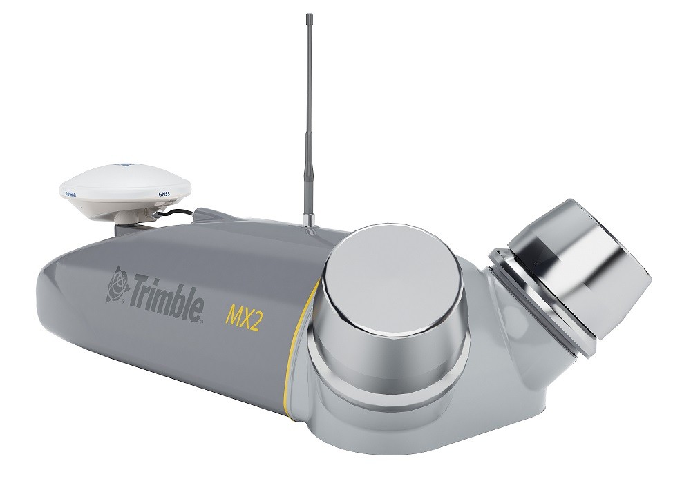
Trimble MX2 allows you to visually observe and capture the job site, and later produce deliverables to the office using Trimble Trident MMS and Applanix POSPac™. Trident Imaging Hub software is available with the system and provides robust positioning of objects, measurements, creation of data layers, 3D models and georeferenced image analysis

Related products

Sign In

Regiser

Forgot Password ?